A new report from the U.S. Geological Survey says part of the area of the Barry Arm landslide in Prince WIlliam Sound showed increased motion after heavy rain in mid-August, but that motion has since stopped.
The remainder of the landslide is not undergoing any widespread deformation, but smaller-scale instabilities on the surface of the landslide still pose a threat of localized tsunami generation in Barry Arm, according to the report released on Sept. 6.
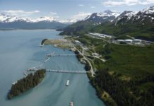
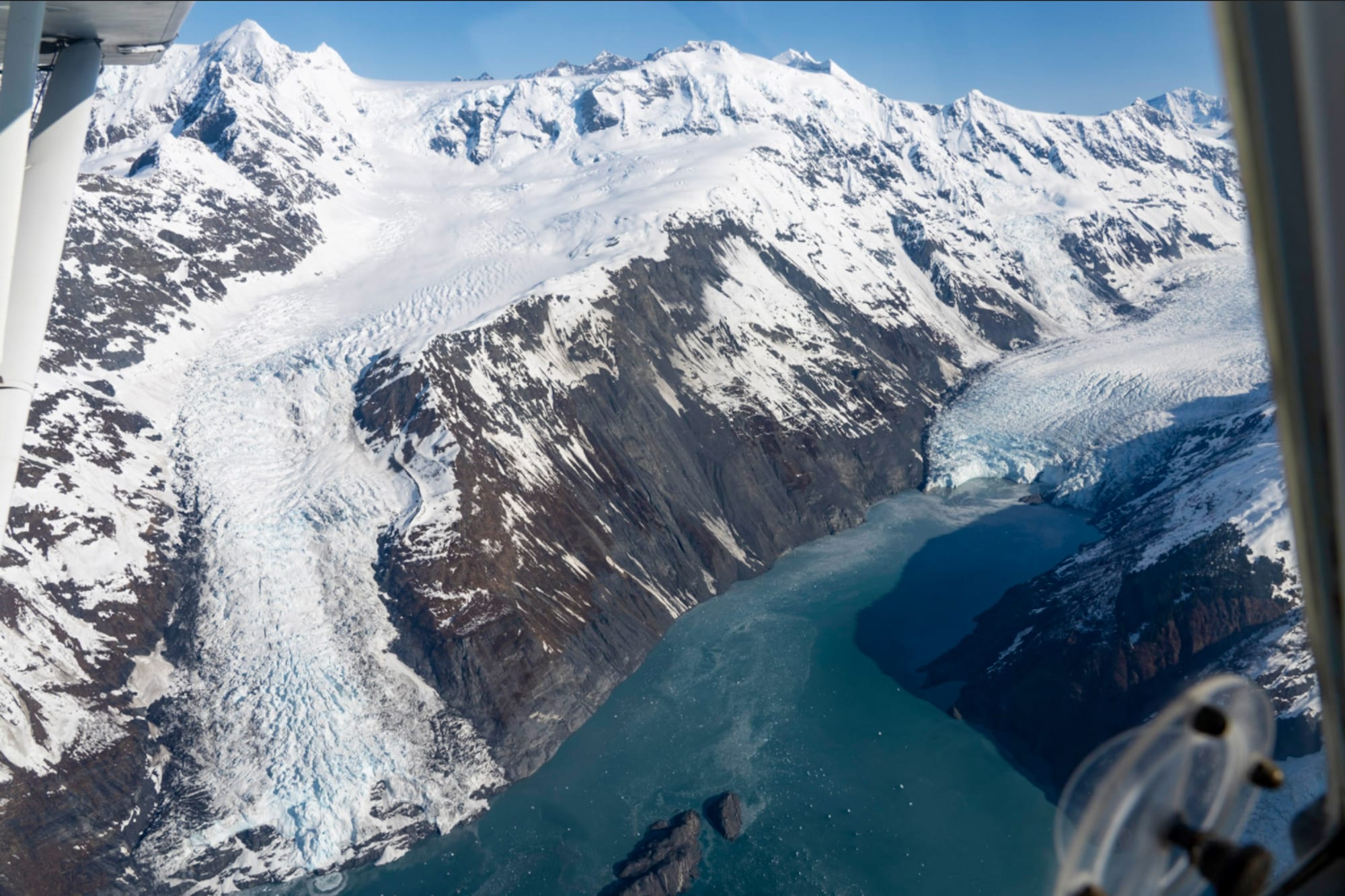
A large steep slope in the Barry Arm fjord, 30 miles northeast of Whittier, has the potential to fall into the water and generate a tsunami that could have devastating local effects on people living in and around Whittier and in northern Prince William Sound.
Research indicates that Cordova, Chenega, Tatitlek and Valdez may also be at risk of a measurable tsunami and dangerous currents.
The publication Science Daily noted on Sept. 12 that a landslide in September of 2023 in a remote area of Greenland caused a 650-foot mega-tsunami that sloshed back and forth across a ford for nine days, generating vibrations throughout Earth.
A new study — by researchers at University College London published in the journal Science — concluded that this movement of water was the cause of a mysterious, global seismic signal that lasted for nine days in September of 2023, leaving seismologists puzzled.

That initial event was the collapse of a nearly 4,000-foot-high mountain peak into the remote Dickson Fjord beneath, causing a backsplash of water 200 meters (656 feet) in the air, with a wave up to 110 meters (360 feet) high. The wave, extending across 10 kilometers (32,808 feet) of the fjord reduced to 23 feet within minutes and would have fallen to a few centimeters in the days after, the report said.
USGS researchers, meanwhile, said at this time they have no way to know when, if, or how much of the slope of Barry Arm Glacier could fall into the water. State and federal science and emergency management teams have been developing tools to provide monitoring and alerting capability for a reliable early-warning and rapid-detection system for the potential risk from a Barry Arm landslide and tsunami.
Mariners transiting near Barry Arm are advised to remain vigilant. An update on activity at the glacier is anticipated on Oct. 4, according to the update posted by the Alaska Department of Natural Resources. Smaller scale instabilities on the surface of the landslide still pose a threat of localized tsunami generation in Barry Arm, the report said.
No landslide updates were posted from March through August, in the wake of a Feb. 2 post saying no ongoing landslide and landslide-generated tsunami threat existed at that time in Barry Arm, in northwestern Prince William Sound.
According to USGS, the retreat of Barry Glacier, which once stretched along the base of Barry Arm landslide, has resulted in open water now extending beneath the landslide. The hazard posed by the landslide raises questions about its stability and the potential hazards that could occur after catastrophic failure.
USGS, The Alaska Department of Geological and Geophysical Surveys, NOAA National Tsunami Warning Center, Alaska Earthquake Center and Alaska Department of Homeland Security and Energy Management have partnered to install equipment to monitor the landslide and do additional analyses on other slopes in Prince William Sound, according to USGS. An interagency effort to understand threats posed by a potential landslide of the Barry Arm fjord continue in Prince William Sound.
To date, a wide range of instrumentation has been deployed to collect and analyze data and help researchers determine what conditions indicate stability and others that indicate instability. Seismic instruments pick up local earthquakes, while radar images capture how the landslide moves. Two meteorological stations with cameras and six smaller meteorological stations are there to continuously monitor weather near the landslide, including rainfall accumulation and solar radiation. An infrasound array installed in the winter of 2021 near Whittier is used to detect sound waves generated by several geologic hazards and is useful for detecting and characterizing large landslides.
Ground-based synthetic aperture radar and seismometers are also in use, as well as remote sensing data acquired from planes or satellites to continue monitoring the landslide.