A new report from the Alaska Department of Natural Resources (DNR) says mariners transiting near Barry Arm should remain vigilant for alerts of landslides into the waters of Prince William Sound.
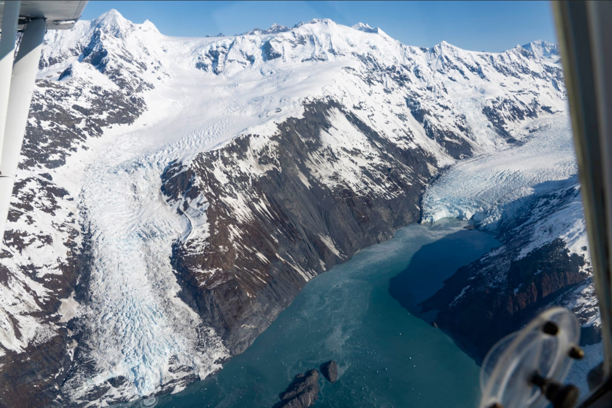
While the Barry Arm landslide currently shows no signs of large-scale active deformation, smaller-scale instabilities on the surface of the landslide still pose a threat of localized tsunami generation in Barry Arm, said a report issued on April 4 by DNR’s Division of Geological and Geophysical Survey.
Meanwhile, due to service changes because of sweeping actions by President Donald Trump, federal and state scientists collaborating on their 24-7 watch of Barry Arm are facing some uncertainties regarding essential equipment repairs and service renewals.
It’s not a question of if but when a massive landslide will occur, and scientists monitoring Barry Arm remain hopeful that there will be enough time to warn people in the area to get safely out of danger.
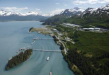
The Barry Arm landslide area is located in northwestern Prince William Sound on the northwest side of Barry Arm in Harriman Fjord, about 30 miles from Cordova. If the slope were to fail catastrophically, there is a threat of large tsunami waves. Whittier, Chenega, Tatitlek, and Valdez could also be impacted, officials warn.
Given currently available research, it looks like such a landslide would be more local to the Whittier and Blackstone Bay area, said Dave Snider, tsunami warming coordinator at the National Tsunami Warning Center in Anchorage.

Administrative changes made in federal agencies by the Trump administration are having an impact on how the interagency team does business, including their ability to travel and get out in the field to do their work, Snider said.
“Someday it will fall into the water,” he said. “It is impossible to know just when it is going to happen.”
Vessel traffic in the area includes cruise ships, passenger vessels crossing the Sound and myriad commercial, sport and recreational fishing vessels.
“As long as they can get to deep water they have a fighting chance,” Snider said. “We are hopeful those captains know where they are and have time to get to deep water quickly. We might be able to have some signals that tell us things are changing out there days or hours before.”
But, he said, there’s still no way to be certain.
“Chances are it will just happen,” Snider said. “A more likely time would be after a heavy rain in late fall. There is risk in everything we do out here. The most important thing is to have a plan and be prepared for it. Having a plan is the first step.”
To monitor this hazard and provide up-to-date information to local residents and emergency and land management groups, an interagency team is constantly monitoring the situation.
The U.S. Geological Survey, Alaska Department of Geological and Geophysical Surveys, NOAA National Tsunami Warning Center, Alaska Earthquake Center, and Alaska Department of Homeland Security and Emergency Management partnered to install equipment to monitor Barry Arm landslide and perform additional analyses on other slopes in Prince William Sound.
The Division of Geological and Geophysical Surveys said in a recent update that administrative changes affecting federal agencies that are part of the Barry Arm monitoring program “have resulted in delays in equipment repairs and service renewals essential to maintaining full operational readiness.”
Such delays “may have temporary impacts on tsunami hazard awareness and response efforts in the region,” the note said.